|
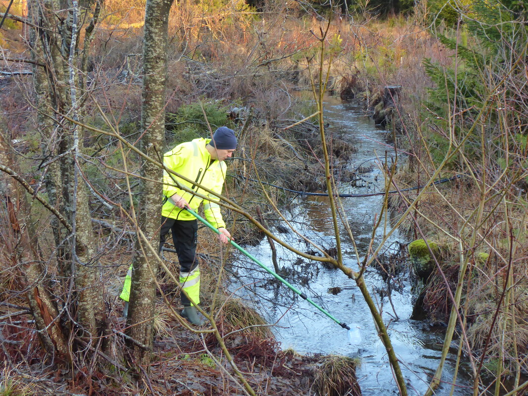
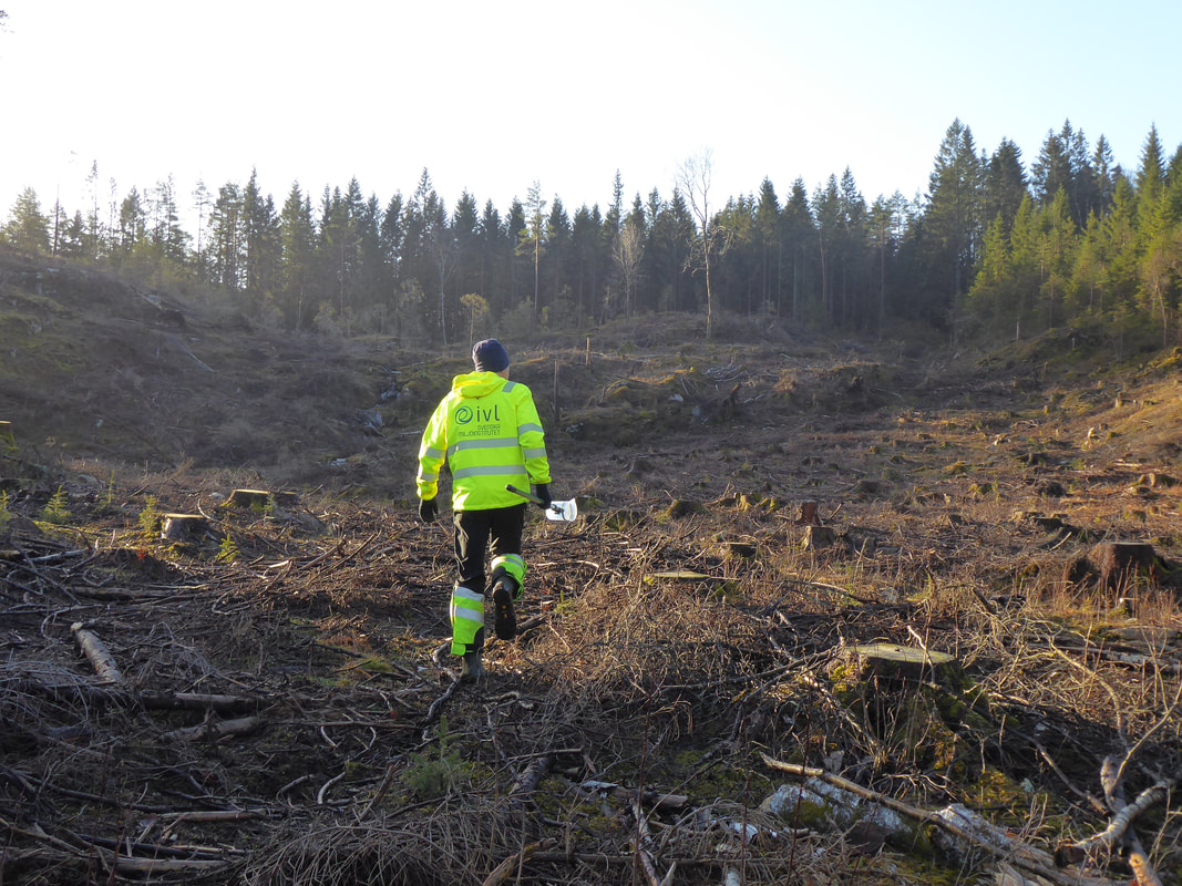
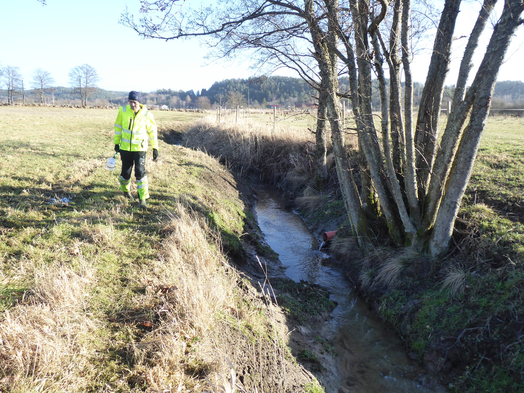
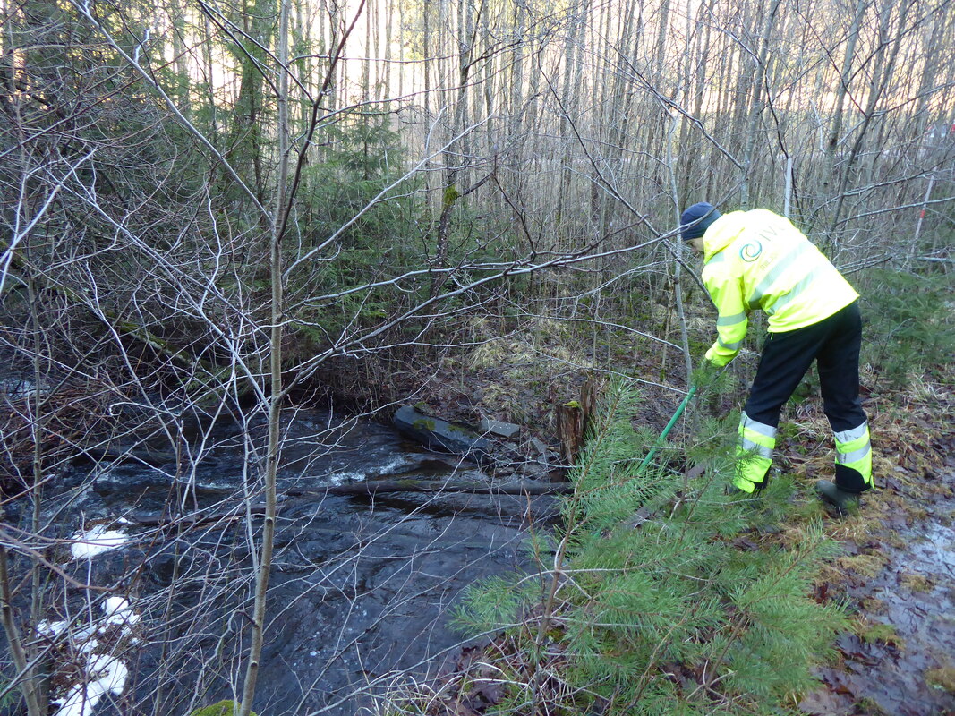
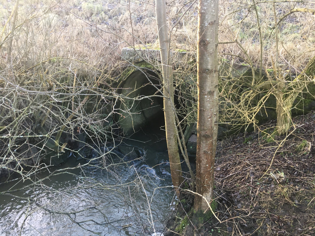
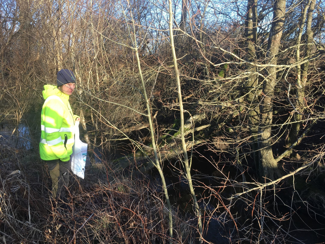
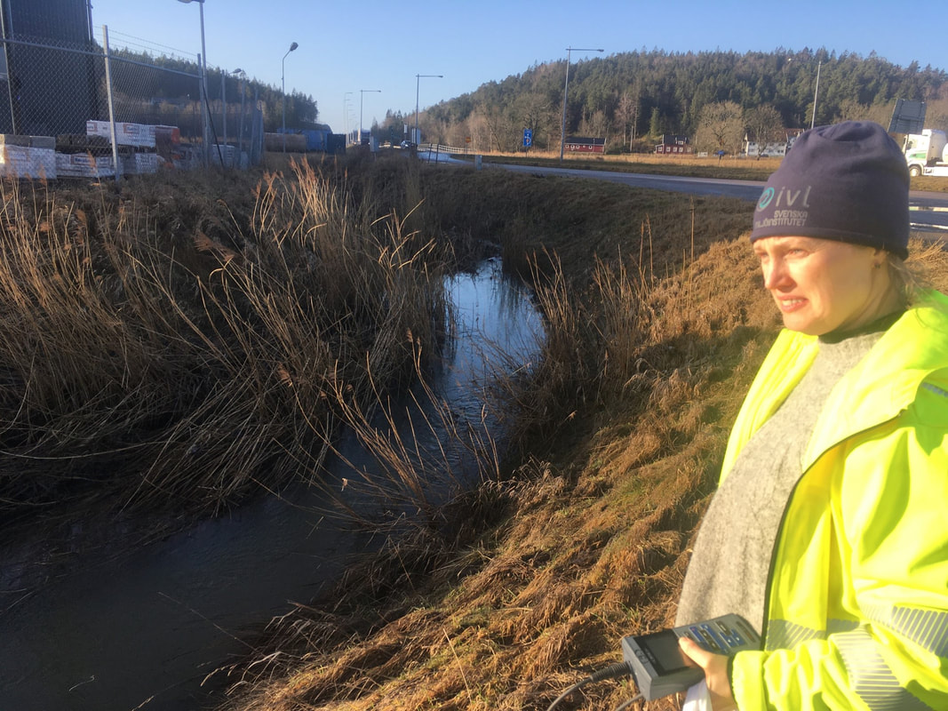
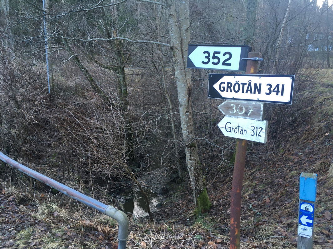
As we predicted, 2021 was a quiet year for the project due to Covid restrictions, although Filip and Sara still managed to take monthly samples from the catchment outflow where the Anråse river enters the sea. But things look more hopeful for 2022 already, and at the start of February the first synoptic sampling campaign went ahead. This involved visiting the 16 regular sites, plus 24 river mouths draining into the fjord system between Gothenburg and Uddevalla. 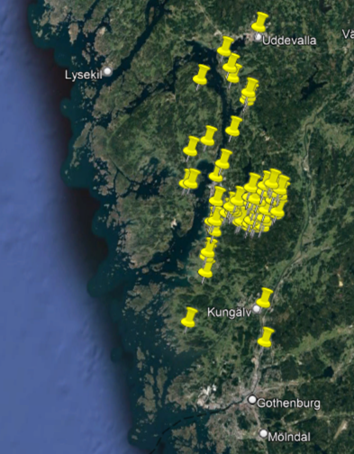 Filip and Mike went off to sample the regular sites, where everything went to plan, apart from the surprise finding that an entire forest below one of the headwater lakes had been felled (thus making the approach rather more 'interesting'). Whilst Sara and Johanna did the long drive across the islands of Tjörn and Orust to Uddevalla, before returning south along the mainlaind, to sample the river mouths (which included several scenic woodland streams but also some less-pleasant channelised urban rivers). The next synoptic sampling should be in a few months, when the terrestrial work will be complemented by a thorough sampling of the marine waters along the coast and out towards the open sea.
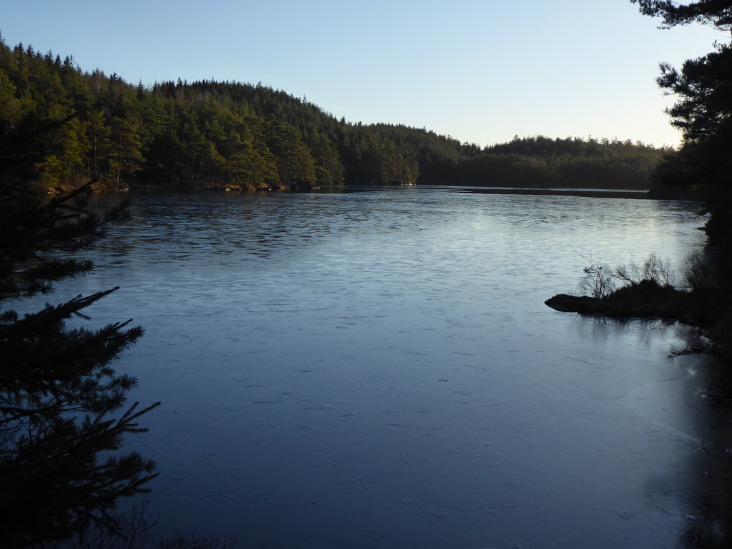
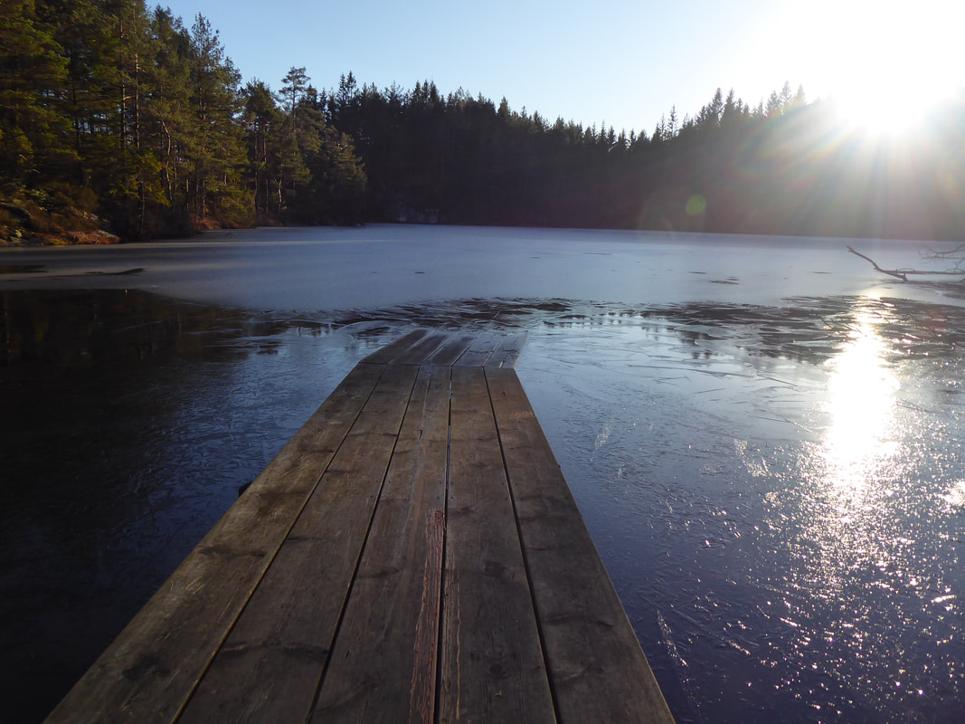
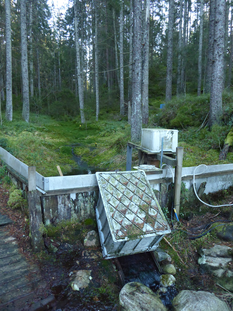
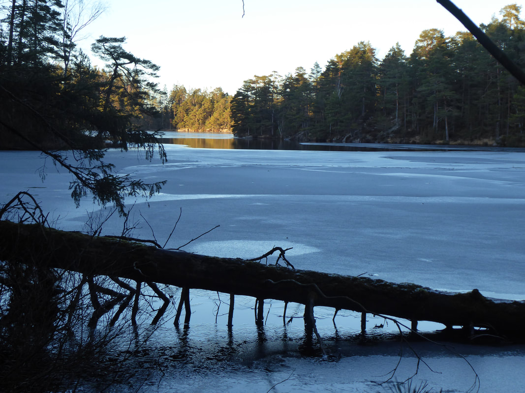
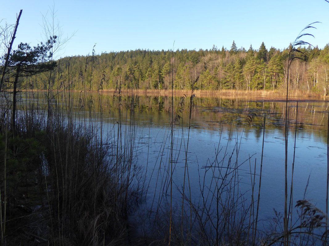
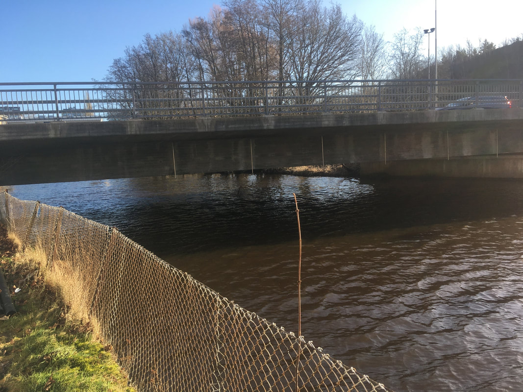
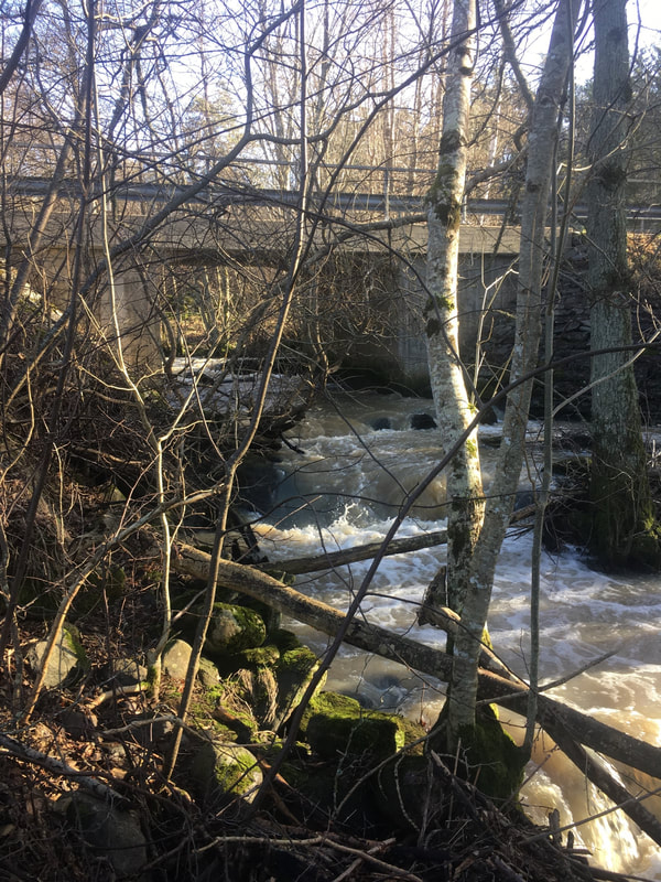
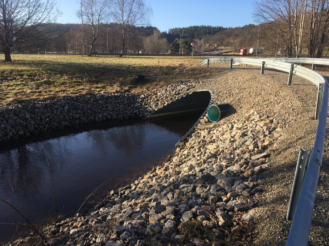
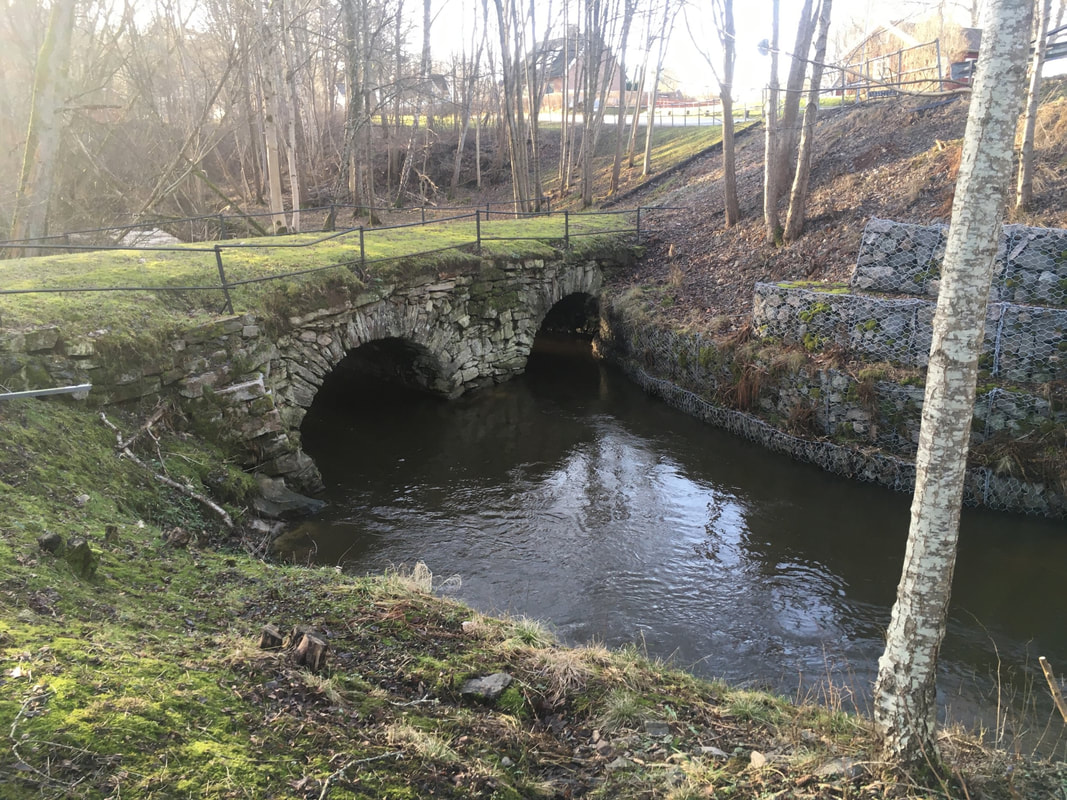
In our last blog we discussed a forest fire that had recently burned in the DAEMONS catchment. Last week Filip and Sara went hunting for the burned area but, after 3.5 hrs roaming the woods of Svartedalen nature reserve in the rain, gave up without any success. Subsequent inquiries with the fire brigade shed light on the problem: all media reports had placed the fire in the wrong place! The fire didn’t burn near Måkevatten, but occurred approximately 1.5 km away on the northern shores of Stora Holmevatten. Armed with this new information, Filip and Sara ventured out again and successfully found the fire area. On the ground the fire burned an area of 300 m x 100 m, running right down to the lake shore. Small trees and shrubs have gone, but the larger pines look set to survive. A cursory investigation suggests that the fire didn’t penetrate too deeply into the soil; Filip and Sara reported that under a few centimeters of burned material was a normal looking FH horizon. They collected several samples from the lake and headwater streams which will be analysed for water chemistry to determine the local impact of the fire. The revised location of the fire means that the only DAEMONS sample sites that could possibly be affected will be the outflows of the Rördalsån and the Anråse. However, considering the small size of the fire, and the large size of the catchment, it seems extremely unlikely that any signal will be detected in the water chemistry. 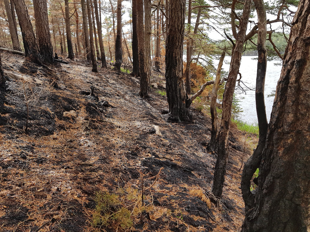 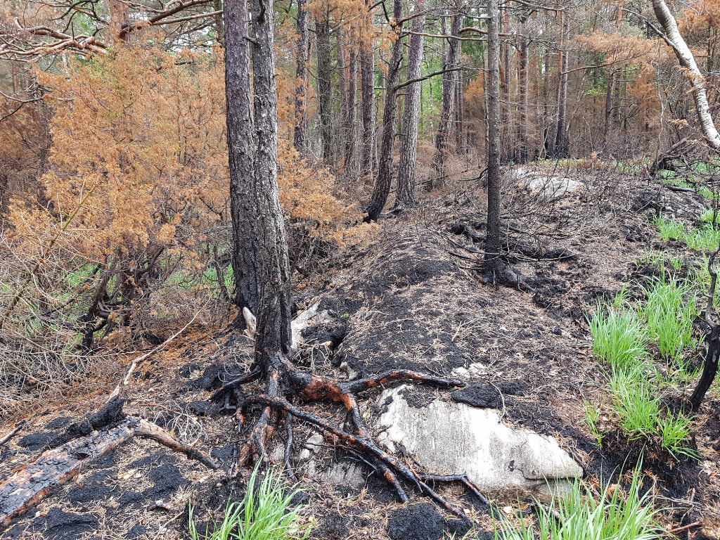 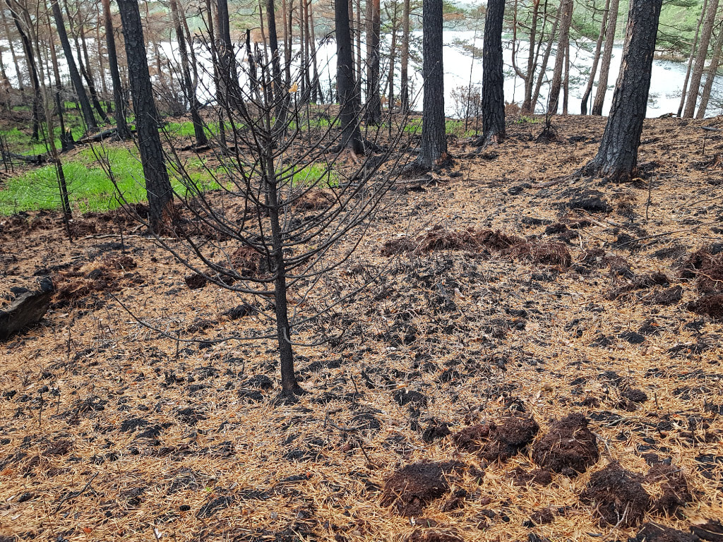 In our first blog we briefly mentioned the monthly water sampling program. This is the core fieldwork behind DAEMONS. Twelve waterbodies are sampled which cover the different land uses in the area (identified as key end members), and the four main rivers within the catchment are also sampled. In this blog we thought we’d give a tour of the sampling sites in virtual form so readers can get a feel for the area. The main catchment is that of the Anråse river. Within this are the three subcatchments of the rivers Rördalsån, Lerån, and Porsån. First up we have three headwater lakes: Stora Hästevatten North, Gaffeln and Svallesjön. Stora Hästevatten North and Gaffeln are both in the well-studied Gårdsjön catchment, which then drains into the Rördalsån. Svallesjön drains into the Lerån. 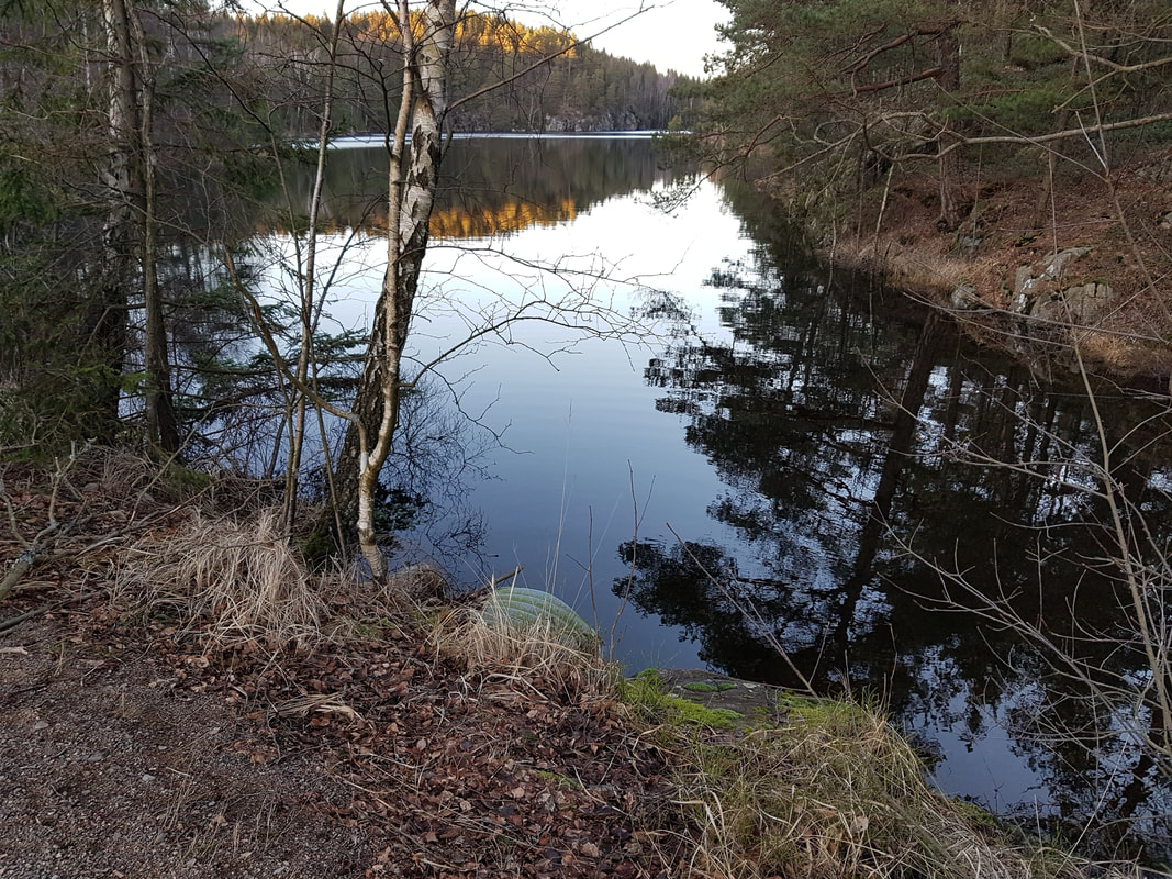 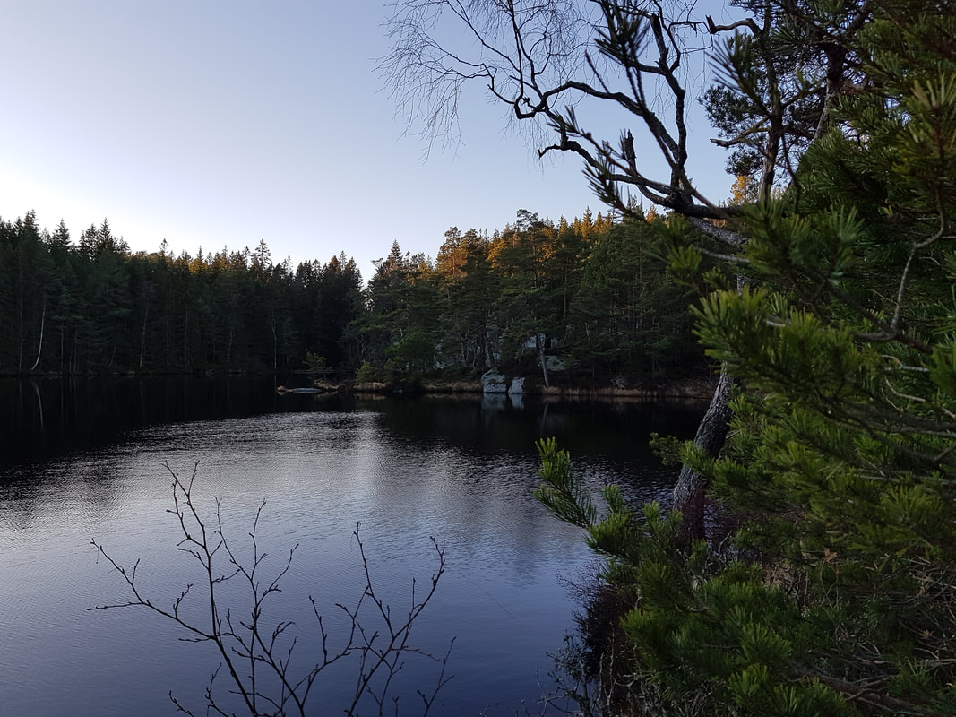 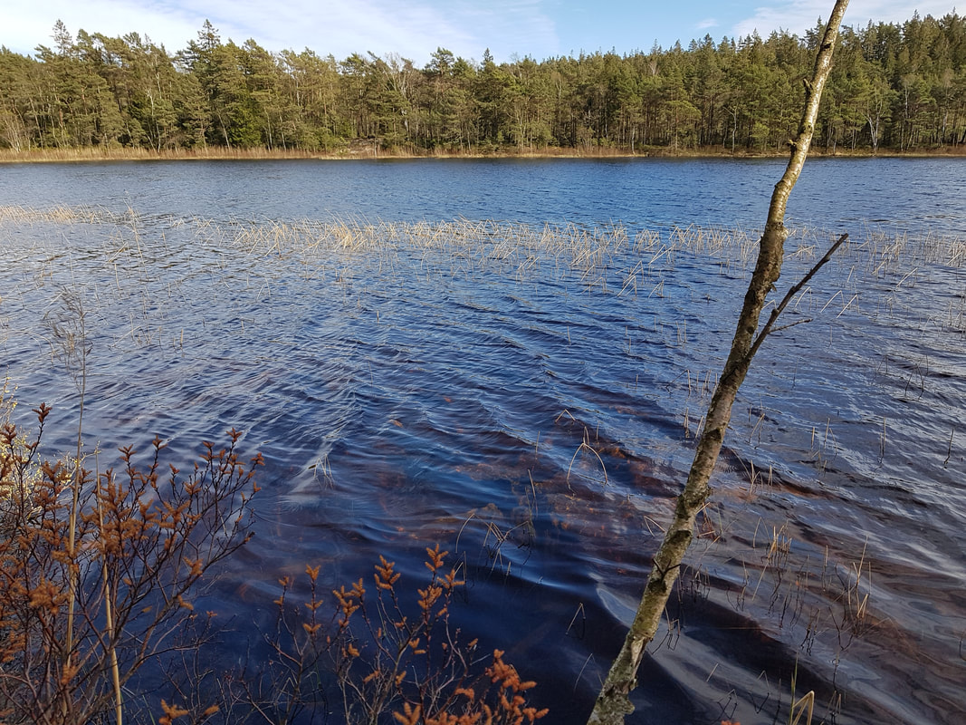 Next we have three headwater streams draining forests: one each for each subcatchment. The forest stream that drains into the Rördalsån is named F1. A nondescript name, but aficionados of research into acidification may recognise it as the reference stream for the famous Gårdsjön roof experiment, where a huge plastic roof was used to cover the G1 subcatchment and prevent rain and throughfall (and therefore acid deposition) from reaching the ground. 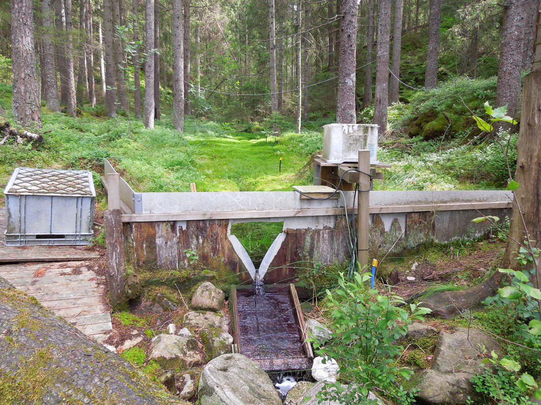 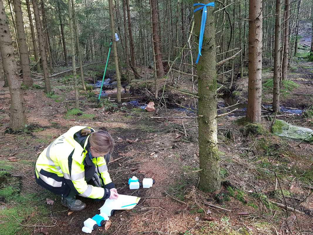 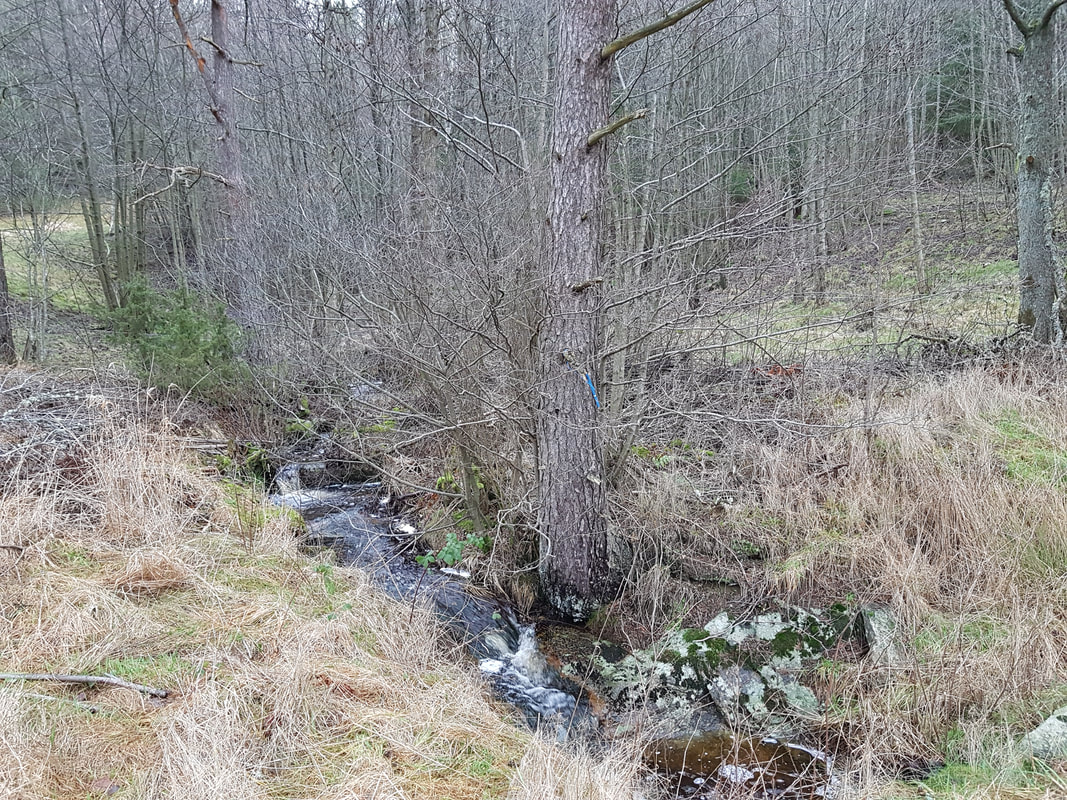 Two of the mire streams are in the Rördalsån subcatchment, and the third is in the Porsån subcatchment. There’s certainly no shortage of mires in the catchment, and so here we were rather spoiled for choice. 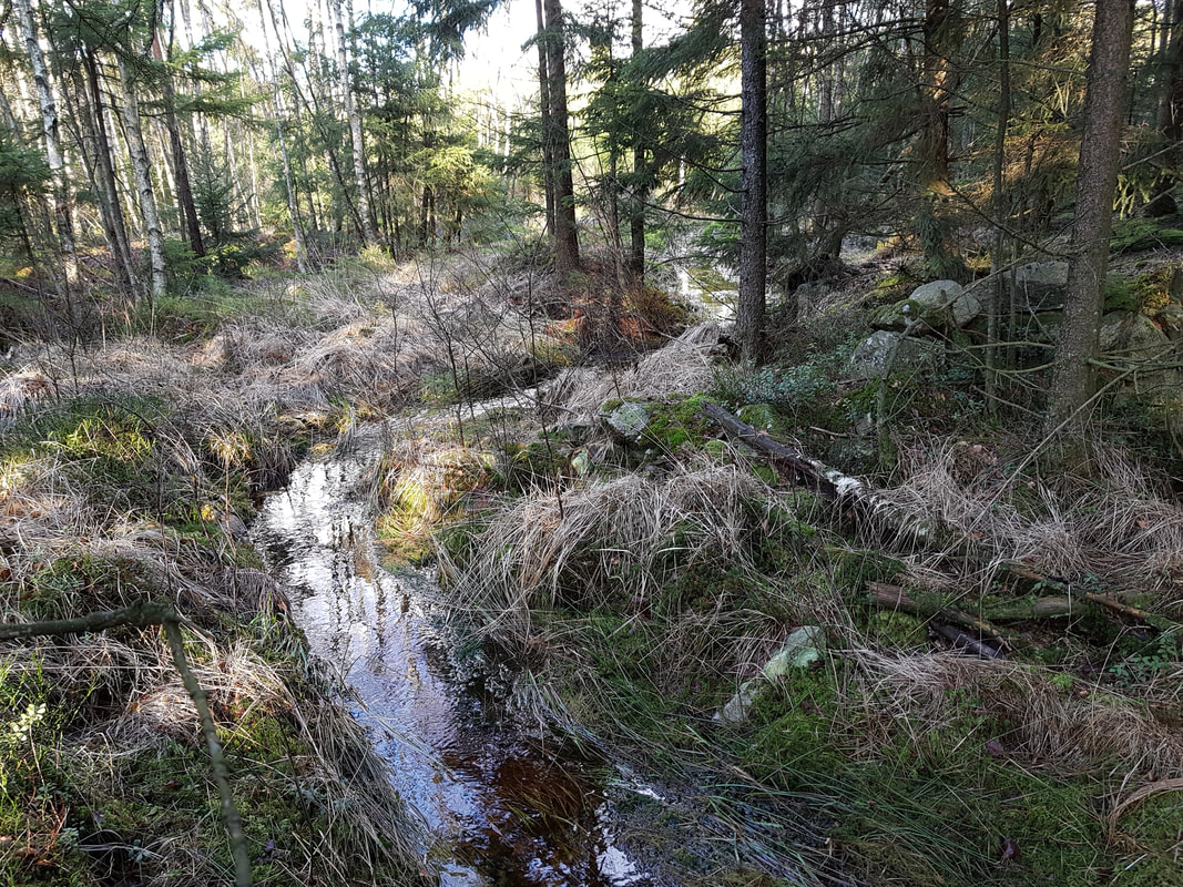  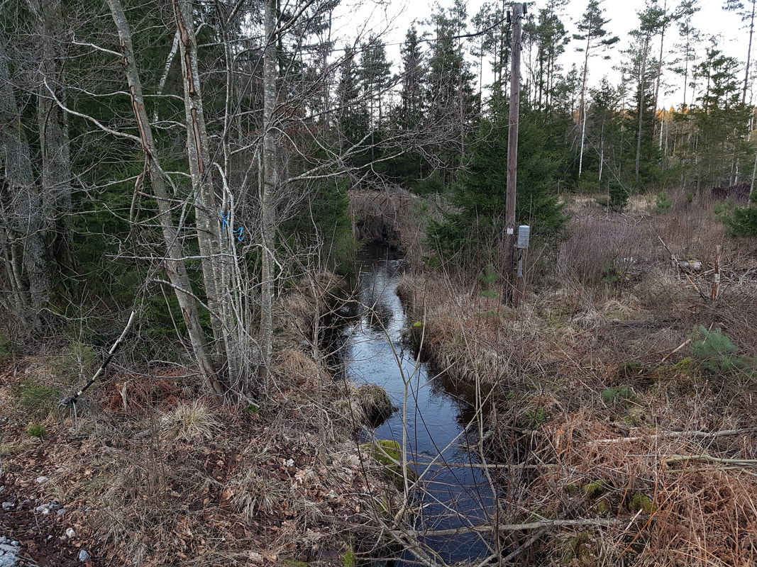 In contrast to mire streams, finding headwater streams with a dominant agricultural influence was difficult, as most of the land is forest. One of the agricultural streams is in the Lerån subcatchment, whilst the two others are downstream of the confluence where the Rördalsån, Lerån, and Porsån meet and form the Anråse river. 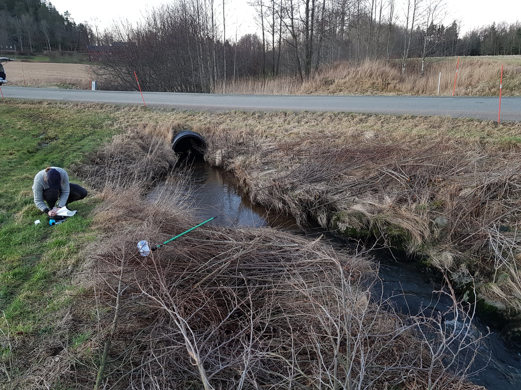 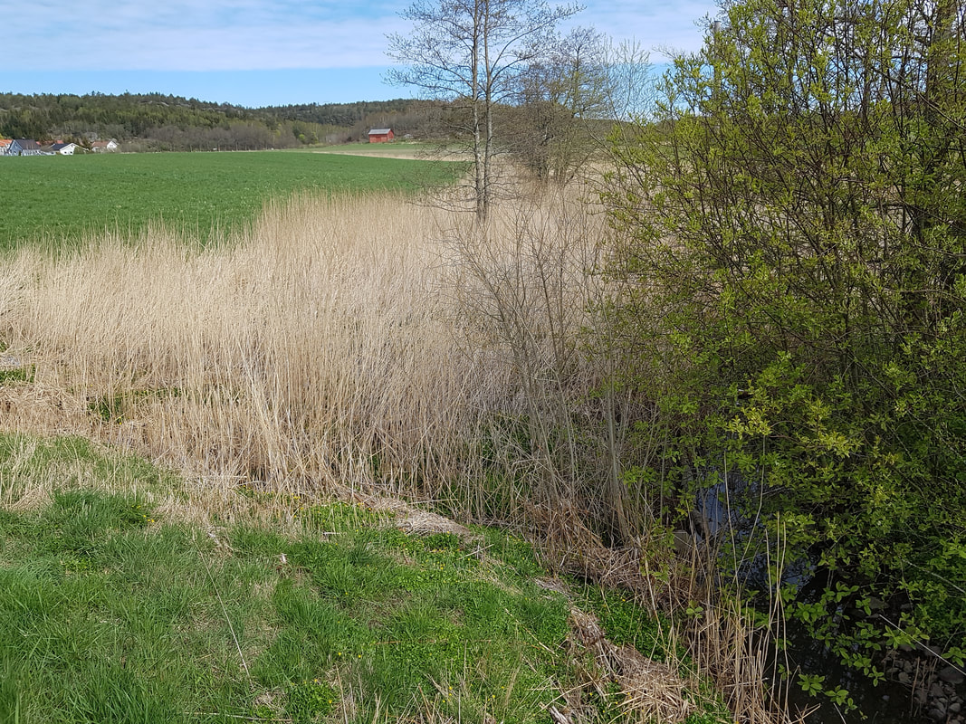 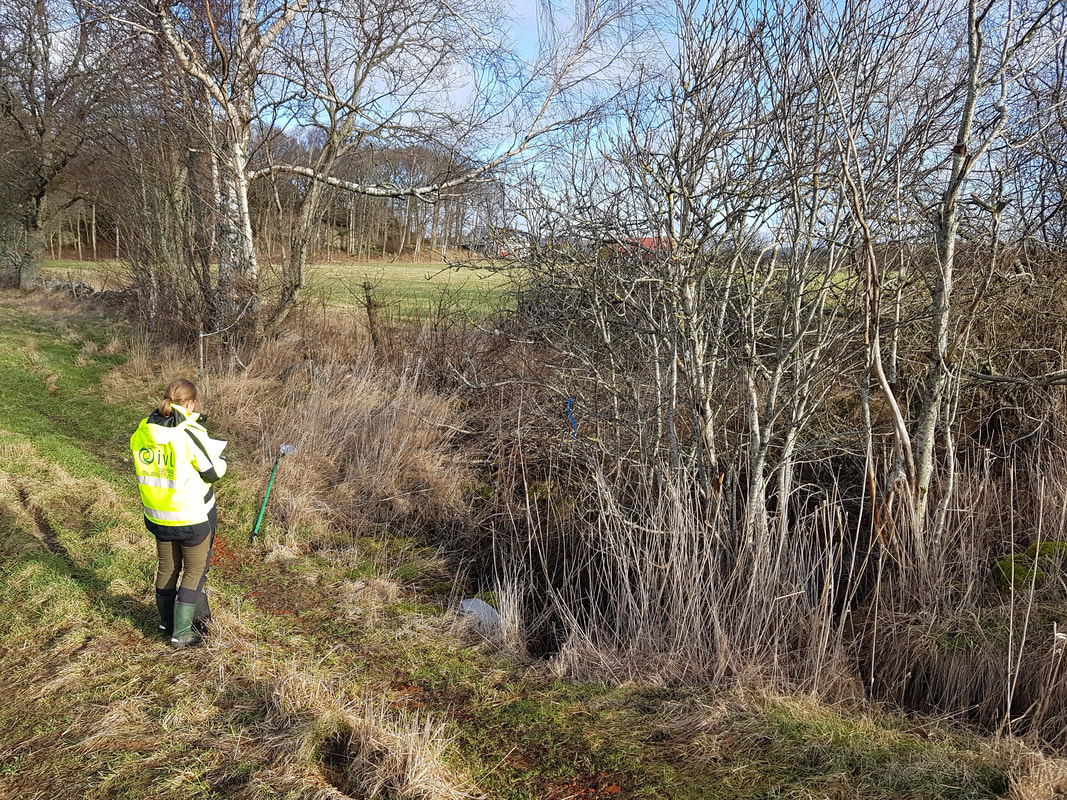 Finally, we have the three rivers of the subcatchments, and then a sampling site in the Anråse river just above the tidal limit before it flows into the Hake Fjord. 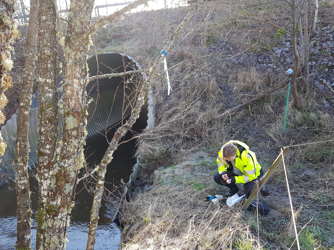 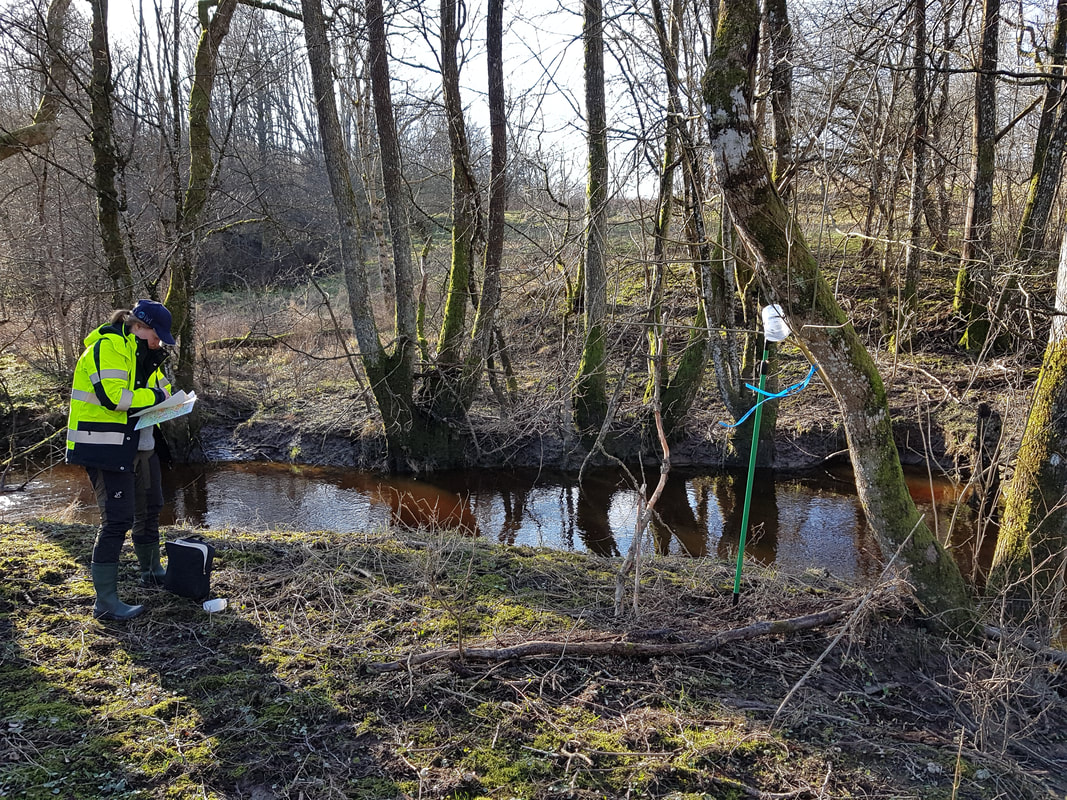 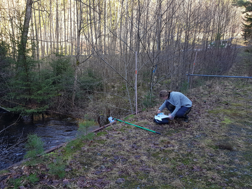 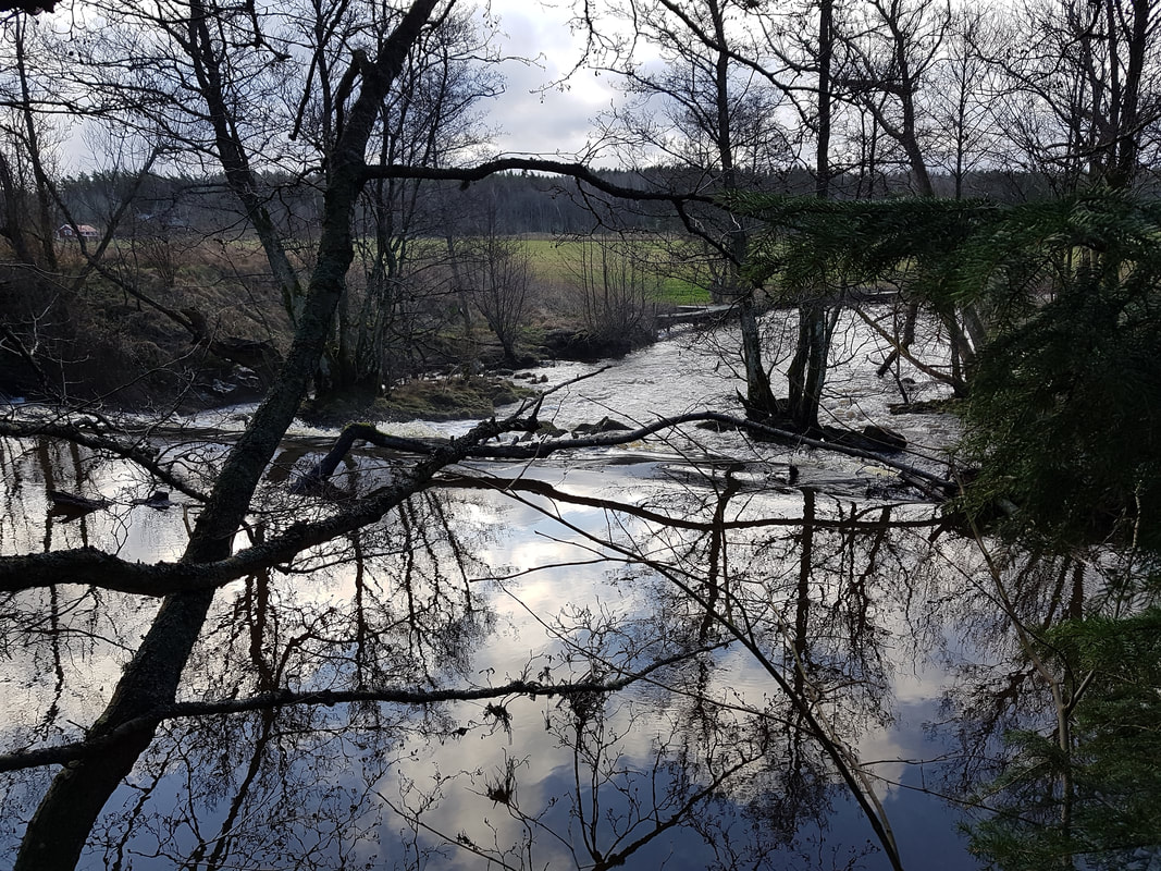 |
Archives
September 2020
Categories
All
|
DRIVERS AND EFFECTS OF MODIFIED NUTRIENT STOICHIOMETRY FROM SOURCE TO SEA (DAEMONS)
 RSS Feed
